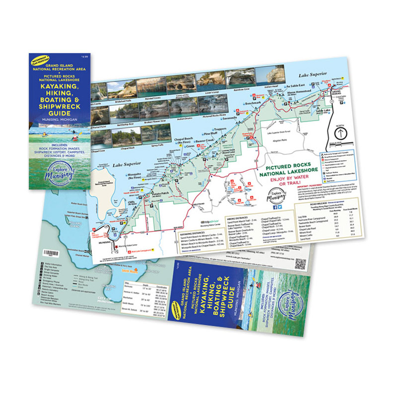
Embark on an unforgettable journey through the rugged beauty of Michigan’s Upper Peninsula with our essential guide to the Pictured Rocks National Lakeshore and Grand Island National Recreation Area. As you delve into the heart of this breathtaking landscape, prepare to be awed by the majestic rock formations that line the pristine shore, each one a testament to the power and artistry of nature.
This isn’t just any guide – it’s a visual feast, with stunning photographs capturing the raw splendor of the Pictured Rocks and providing invaluable insights into the best routes for kayakers and boaters. Imagine gliding through crystal-clear waters, surrounded by towering cliffs and vibrant hues that seem to shift and dance with the changing light.
But the adventure doesn’t end there. Grand Island beckons with its own array of wonders, offering a network of trails that wind through ancient forests and along rugged coastlines. Whether you’re an avid hiker seeking the thrill of discovery or a leisurely biker in search of scenic vistas, you’ll find yourself enchanted by the pristine beauty of this unspoiled wilderness.
As you explore, keep an eye out for traces of history hidden among the natural wonders – remnants of shipwrecks that tell tales of daring voyages and untamed seas. Our map makes it easy to navigate these storied waters, with clearly marked trails and fascinating insights into the rich heritage of the region.
So, whether you’re seeking adventure on the water, craving the serenity of a woodland trail, or simply yearning to lose yourself in the beauty of the Pictured Rocks, our guide is your essential companion. Don’t miss out on the experience of a lifetime – let the wonders of Michigan’s Upper Peninsula inspire your next great adventure.
(Price includes shipping & handling. Maps are non-returnable. All sales final.)
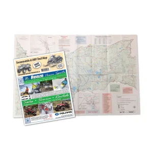
Map Features:
$8.75